
Centimetre-level positioning
GNSS RTK systems support precise point collection, stakeout and construction control across demanding project environments.
High-precision geospatial technology for Kuwait
Deema Trading supports SatLab geospatial solutions for precise positioning, surveying, mapping, reality capture, construction, roadworks, utilities, marine surveys and asset documentation.
Connected geospatial workflow
SatLab combines positioning hardware, sensors, field software and office processing. The result is a practical workflow for capturing accurate spatial data, checking it in the field and turning it into survey, mapping, volume, inspection or project-control outputs.
GNSS RTK systems support precise point collection, stakeout and construction control across demanding project environments.
SLAM and LiDAR systems capture point clouds for facilities, corridors, stockpiles, structures and difficult-access areas.
Android controllers, visual measurement and guided stakeout help teams collect and verify information efficiently.
Connected field and office software supports processing, coordinate control, mapping, quality review and deliverables.
SatLab portfolio
Select a technology family to review the manufacturer’s current range. Deema can coordinate the application, project specification, accessories, training, documentation and commercial enquiry for Kuwait.
High-precision receivers for surveying, stakeout, mapping, construction and infrastructure work.
Handheld, vehicle and UAV-enabled reality capture for point-cloud mapping and digital documentation.
Robotic and Android total stations for survey control, visual stakeout and construction layout.
Rugged field devices for data collection, measurement control and connected project workflows.
Uncrewed survey vessels and sensor integrations for bathymetry, waterways, ports and environmental monitoring.
Field and office tools for measurement, point-cloud processing, mapping and survey deliverables.
Positioning technologies that support grade, excavation and construction machine workflows.
Product descriptions are based on SatLab’s current published information. Final configuration, performance, accessories and project suitability must be confirmed against the latest manufacturer data.
Featured products
Five representative systems show how the portfolio moves from point measurement and visual stakeout to mobile reality capture, optical surveying and autonomous hydrography.
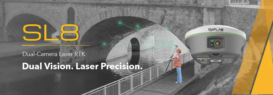
Laser RTK
Dual-camera GNSS, IMU and laser measurement for non-contact points, visual targeting and CAD-guided stakeout.
View official product ↗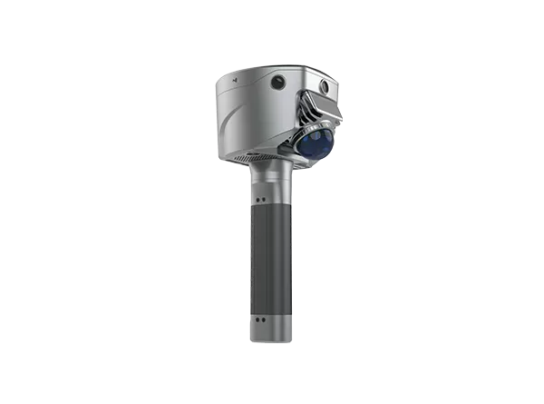
GNSS + SLAM
Combines RTK positioning, SLAM scanning and image measurement for work across open and obstructed environments.
View official product ↗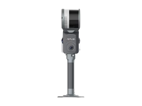
Reality capture
Portable LiDAR, vision and RTK/PPK integration for point-cloud capture in buildings, corridors and industrial sites.
View official product ↗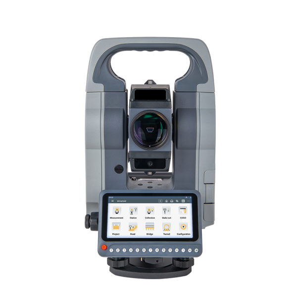
Optical surveying
Android total station with dual displays, an integrated camera, visual guidance and CAD stakeout workflows.
View official product ↗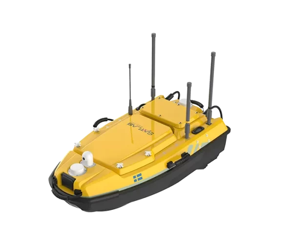
Hydrographic surveying
Compact uncrewed survey vessel for bathymetry, flow measurement, underwater mapping and water-quality work.
View official product ↗Official videos
Selected manufacturer videos covering GNSS, visual stakeout, SLAM scanning, hydrographic surveying and field software.
Positioning
An introduction to the manufacturer’s high-precision positioning workflow.
Watch on YouTube ↗Visual stakeout
Real-time visual guidance and a modern field interface for optical surveying.
Watch on YouTube ↗Reality capture
A practical introduction to portable handheld SLAM scanning.
Watch on YouTube ↗Hydrography
How an uncrewed survey vessel supports compact multibeam data collection.
Watch on YouTube ↗Field software
A field-oriented walkthrough of SatLab’s Android surveying software.
Watch on YouTube ↗Video library
Browse the manufacturer’s current GNSS, optical, hydrographic, LiDAR and software videos.
Open the library ↗PDF library
Open manufacturer-hosted literature for the principal product families. Specifications may change, so every project enquiry should be checked against the latest data sheet.
Enquiry basis
Share the required accuracy, coordinate system, site conditions, measurement range, output format, field connectivity, project software, accessories, training needs and delivery schedule.
Deema can then coordinate an application-focused technical and commercial response for the appropriate SatLab configuration.
Kuwait geospatial enquiry
Send the application, specification, required accuracy, quantities, accessories, training requirements and project schedule. Deema Trading will coordinate the next step.